Haarlem and the province North Holland

Holland and Haarlem in pictures


hlm-wapen.gif (2541 bytes)


Click for the old map of Haarlem

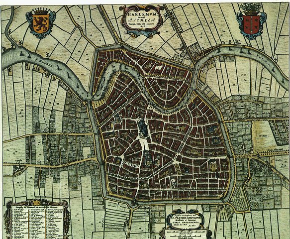
Haarlem at the end of the 16th century: from the book of maps by Johannes Blaue

Haarlem, formerly Haerlem or HARLEM, city, western Netherlands, capital of North Holland Province, on the Spaarne River, near the North Sea and Amsterdam. Haarlem received city-rights in 1245. The chief industries in Haarlem are printing, publishing and typecasting, and the manufacture of chocolates, paint, railway cars an the music industry (Sony). In the past centuries Haarlem was known by the production of woolen and cotton goods, bleaching and dyeing, and beer brewing. In addition, Haarlem is the center of a prosperous trade in bulbs, notably tulip and hyacinth, which gave Haarlem its name as 'flower-city'; the annual floral parade (the 'bloemen-corso') at springtime with dozens of flower-decorated carriages attracts thousands of tourists from all over the world.


Click to enlarge

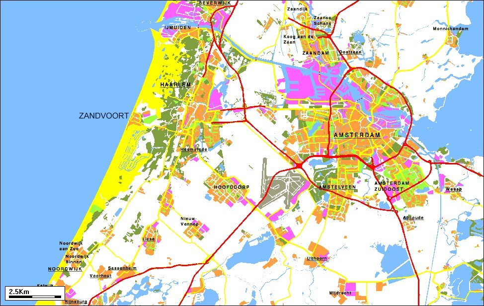
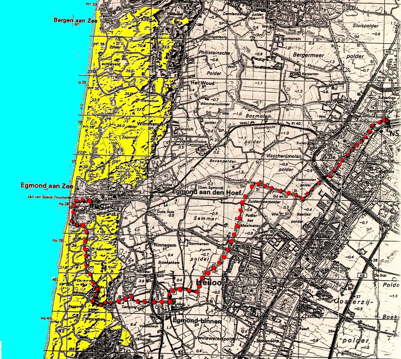
The map of the province North Holland
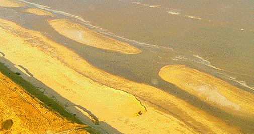
Haarlem took a prominent part in the revolt of the Netherlands against Spanish rule. In 1572 (at the start of the 80-years war of 1568-1648 against Spain) the city was besieged by the Spanish army of Alfonso de Toledo with 30,000 men. After a resistance of seven months it was compelled to capitulate and became a Spanish enclave in Holland. Four years later, William I, prince of Orange, delivered Haarlem from Spain and incorporated the city into the United Netherlands.
Population of Haarlem: (1995 estimate) 148,500.


The Dutch seashore

The Dutch coastline is over 100 miles long with flat beaches and high dunes against the flood. In summertime many Dutch and German tourists spend their summer holidays at the beach, swimming, windsurfing or just enjoying the pleasant environment. No cars are allowed to drive on the beach, so beach walking is a very common sport, it is really wonderful to walk along the many miles long beaches

The Dutch seashore again

On the shore you can also enjoy horse riding. The dunes (sometimes over 10 miles wide) offer the horserider an extensive network of special horse-tracks.

Click to view a map of the coastline at Egmond

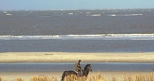
The Dutch seashore at Zandvoort near Haarlem


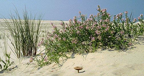
The vegetation of the dunes at the shore


The New York skyline

The section known as Harlem in New York City was named after Haarlem by early Dutch settlers. NewYork was is the former 'Nieuw Amsterdam', Harlem and Nieuw Amsterdam were part of the New Netherland colony. This colony, which suffered from Native American attacks and mismanagement in its early years, achieved a measure of peace and economic stability under Peter Stuyvesant, who governed it from 1647 to 1664. In the latter year it was sold to the by the English and was renamed New York in honor of its proprietor, James, duke of York, brother of King Charles II.


Back to the top of this page